BUILD YOUR OWN
RESOURCE LIBRARY
Special Reports
SusHi Tech Tokyo 2024: experience ‘Tokyo 2050’ todaySponsored by The SusHi Tech Tokyo 2024 Showcase Program Executive Committee
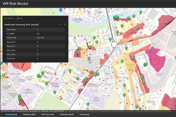
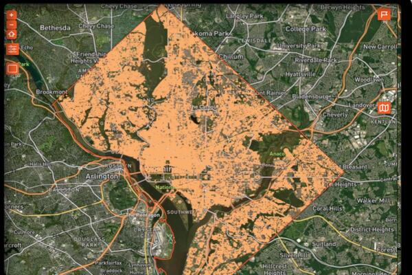
Mapping tool provides real-time picture of sewer risk

To date, the system has been used to find and clear over 1,000 blockages and discover more than 1,700 structural defects, including broken pipes and tree root intrusions
Oh no, sadly you have viewed the maximum number of articles before we ask you to complete some basic details. Don't worry, it's free to register and won't take you longer than 60 seconds!
Latest City Profile
SmartCitiesWorld Newsletters (Daily/Weekly)
BECOME A MEMBER


