BUILD YOUR OWN
RESOURCE LIBRARY
Special Reports
SusHi Tech Tokyo 2024: experience ‘Tokyo 2050’ todaySponsored by The SusHi Tech Tokyo 2024 Showcase Program Executive Committee
UK local authorities reveal results of GIS pilot projects
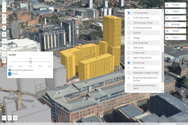
Nottingham City Council explored how geospatial technology can help increase the use of 3D visualisation
Oh no, sadly you have viewed the maximum number of articles before we ask you to complete some basic details. Don't worry, it's free to register and won't take you longer than 60 seconds!
Latest City Profile
SmartCitiesWorld Newsletters (Daily/Weekly)
BECOME A MEMBER


