BUILD YOUR OWN
RESOURCE LIBRARY
Special Reports
SusHi Tech Tokyo 2024: experience ‘Tokyo 2050’ todaySponsored by The SusHi Tech Tokyo 2024 Showcase Program Executive Committee
Milton Keynes uses drones to map area and create digital twin
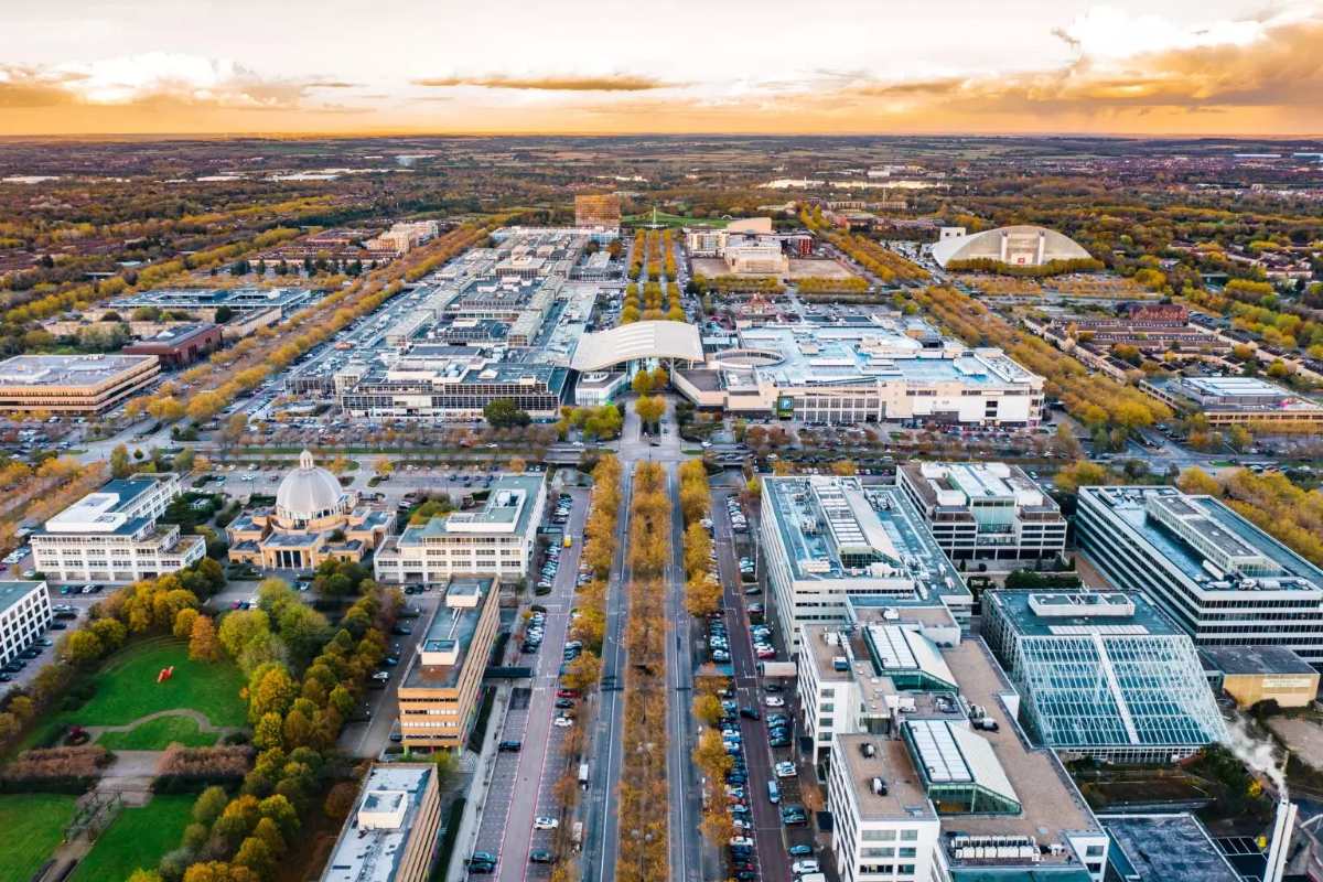
The use of drones could help Milton Keynes Council deliver services such as smart traffic monitoring, secure parcel deliveries, remote building inspections and emergency response
Oh no, sadly you have viewed the maximum number of articles before we ask you to complete some basic details. Don't worry, it's free to register and won't take you longer than 60 seconds!
Latest City Profile
SmartCitiesWorld Newsletters (Daily/Weekly)
BECOME A MEMBER
