BUILD YOUR OWN
RESOURCE LIBRARY
Special Reports
SusHi Tech Tokyo 2024: experience ‘Tokyo 2050’ todaySponsored by The SusHi Tech Tokyo 2024 Showcase Program Executive Committee
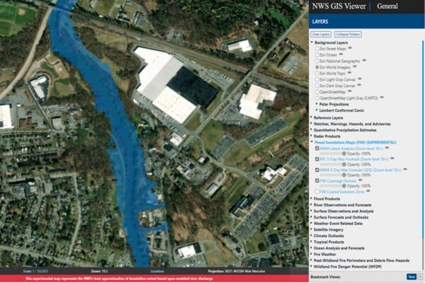
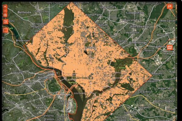
US unveils flood inundation maps for at risk areas

The new services provide initial mapping capabilities for 10 per cent of the US population in much of eastern Texas and parts of the mid-Atlantic and Northeast
Oh no, sadly you have viewed the maximum number of articles before we ask you to complete some basic details. Don't worry, it's free to register and won't take you longer than 60 seconds!
Latest City Profile
SmartCitiesWorld Newsletters (Daily/Weekly)
BECOME A MEMBER


