BUILD YOUR OWN
RESOURCE LIBRARY
Special Reports
SusHi Tech Tokyo 2024: experience ‘Tokyo 2050’ todaySponsored by The SusHi Tech Tokyo 2024 Showcase Program Executive Committee
Latitudo 40 secures funding to expand access to data platform
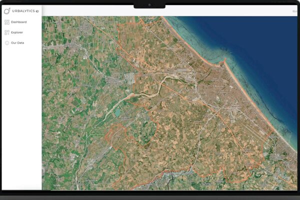
Latitudo 40 uses satellite imagery and AI to transform raw data into actionable models and datasets
Oh no, sadly you have viewed the maximum number of articles before we ask you to complete some basic details. Don't worry, it's free to register and won't take you longer than 60 seconds!
Latest City Profile
Latest Trend Report
SmartCitiesWorld Newsletters (Daily/Weekly)
BECOME A MEMBER


