BUILD YOUR OWN
RESOURCE LIBRARY
Special Reports
SusHi Tech Tokyo 2024: experience ‘Tokyo 2050’ todaySponsored by The SusHi Tech Tokyo 2024 Showcase Program Executive Committee
How satellite data can help cities battle climate change
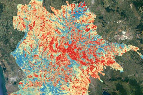
Satellite data can be used to inform heatmaps that help to combat the urban heat island effect
Oh no, sadly you have viewed the maximum number of articles before we ask you to complete some basic details. Don't worry, it's free to register and won't take you longer than 60 seconds!
Latest City Profile
Latest Trend Report
SmartCitiesWorld Newsletters (Daily/Weekly)
BECOME A MEMBER


